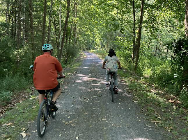
My friend George Stauffer managed to bike 75 miles on his 75th birthday.
Inspired by that feat, I wanted to try the same thing this year when I turned 62: I would bike the entire Pine Creek Rail Trail—all 62 miles from Wellsboro to Jersey Shore.
But my wife and I had never done even half that distance in a single shot; so we slightly wimped out by splitting the trek over two days. Even so, we initially struggled with logistics, wondering how to get back to where we started without juggling two cars, two bike-racks and one long drive.
Fortunately, Pine Creek Outfitters runs a daily shuttle along the route, ferrying riders and bikes north to the trailhead in Wellsboro. They also offer a similar afternoon service taking back folks who started at the top; if needed, they will even drive your car to a prearranged finish-point.
With these options, we decided to start with an overnight stay at the biker-fave Hotel Manor in Slate Run—just past halfway at milepost 35. There, we’d pick up the morning shuttle north to Wellsboro and then bike back, resting for a second night at the inn; next day, I’d run our car down to Jersey Shore and return on the morning shuttle to Slate Run, where Mona would be waiting with our bikes so we could cover the last 27 miles on my actual birthday.
This may not sound especially elegant, but it worked like a charm.
STARTING OUT
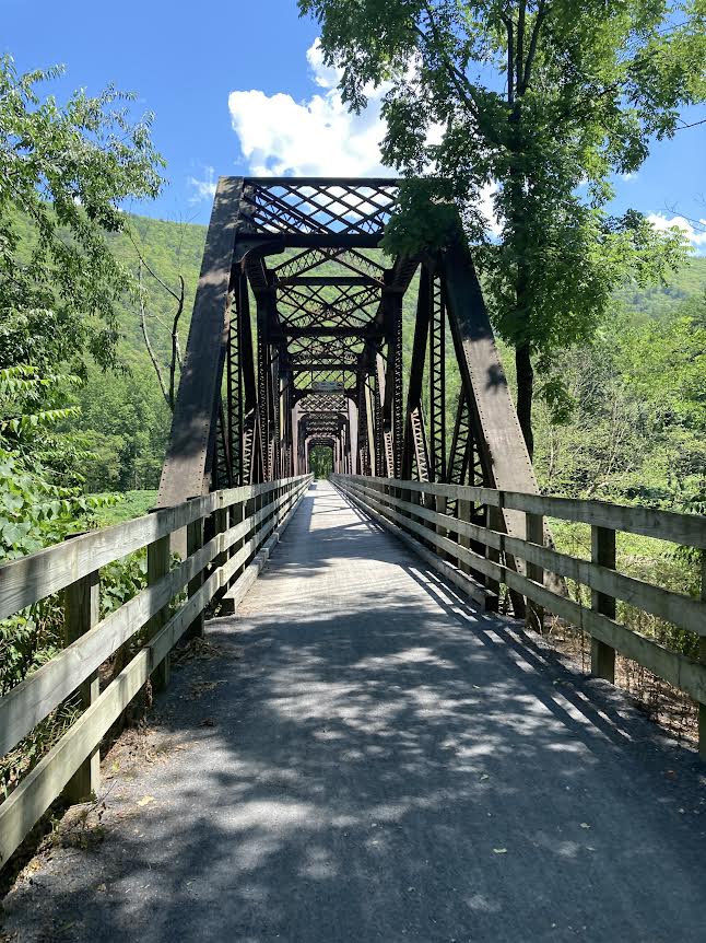
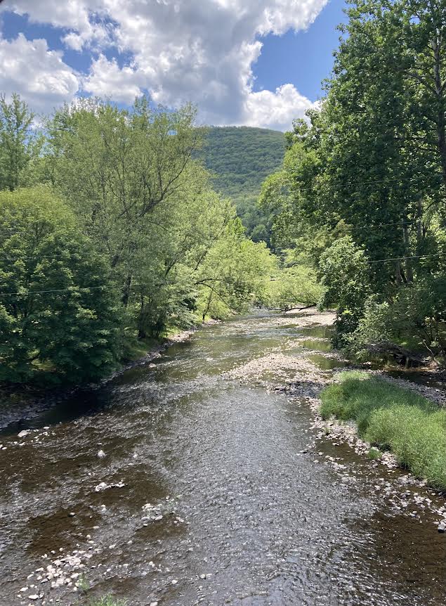
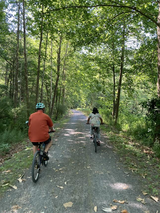
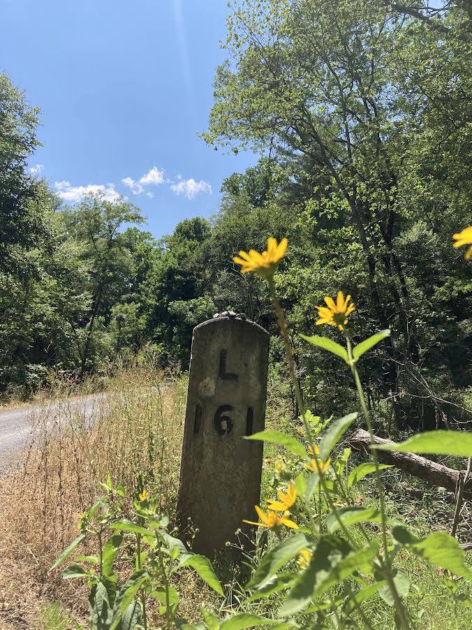
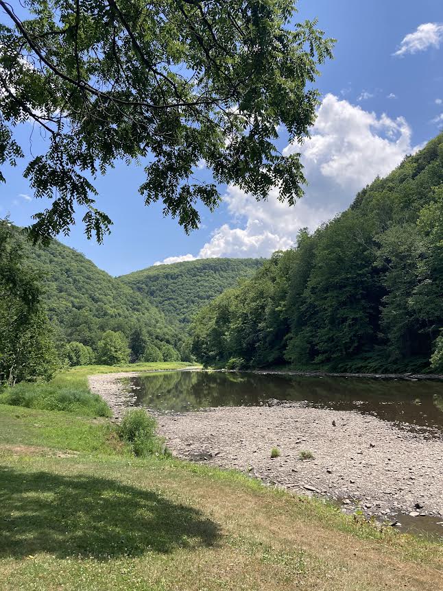
Opened in 1996 and completed 11 years later, the Pine Creek Rail Trail runs on the abandoned and almost perfectly level roadbed of the former New York Central line to Lyons, NY—which explains the “L” on mileposts that still stand sentry along much of the route. The trail’s terrain includes creek-sides, roadsides, cliffsides, marshes, meadows, farmland, fern-filled forests—and 16 miles of the Pennsylvania Grand Canyon, a gorgeous valley of towering cliffs, verdant foliage and winding, rapid-strewn waters.
We kicked off our adventure on a Wednesday evening; but it turns out this is a dead day for tourism in the valley, and several local eateries were closed. Eventually we stumbled on Santino’s Pine Creek Inn just south of Waterville, with a massive menu, excellent service and even better food; next morning our shuttle driver proclaimed it his favorite restaurant in the entire area.
He dropped us at the Wellsboro trailhead around 10:45 a.m. that sunny summer Thursday, and we were off.
TRIALHEAD TO TIADAGHTON
The PCRT’s first eight miles runs not along Pine Creek—which swings in later, where the trail passes under Route 6—but rather beside the aptly named Marsh Creek. It’s a great stretch for birding, and I managed my first-ever decent photo of the lovely but skittish kingfisher species; shortly thereafter, the passing driver for the Ole Covered Wagon—a horse-drawn tourist ride in the canyon—pointed out a juvenile bald eagle perched in a tree across the water.
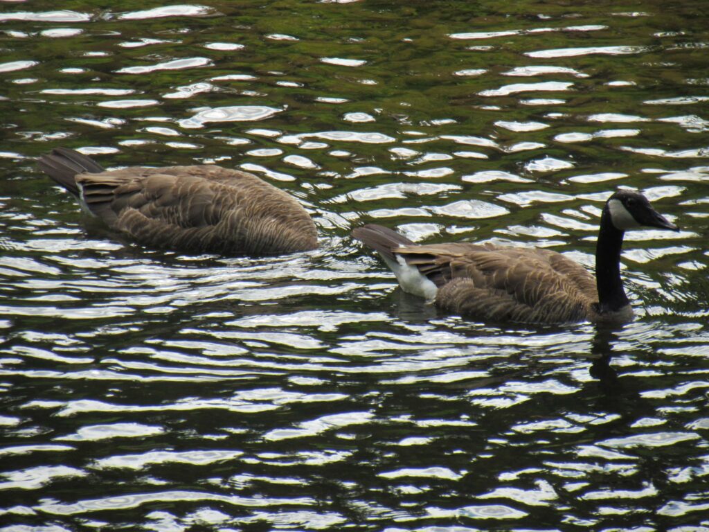
Other sightings included thrashers, goldfinches, a scarlet tanager, an osprey, Canada geese, an elusive green heron and a massive flock of mergansers apparently engaged in some half-demented form of avian water polo.
We’d packed my leftover pizza from Santino’s and had it for lunch at the 16-mile point in the Tiadaghton picnic area—which, like most of the canyon, has no cell service. At least one intrepid soul had camped there overnight in a hammock; it sure is a remote and peaceful little spot.
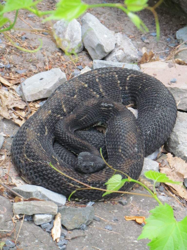
I must say, however, that rattlesnakes are common along the trail here, and we spotted one about 6 miles further south, resting on a rock in the sun and not looking particularly friendly.
This is probably not a selling point for some readers, but I’m fascinated by snakes of all kinds and in any case, if you leave these pit vipers alone, they will happily reciprocate.
BLACKWELL TO SLATE RUN
Next stop was Blackwell access in Morris, where the canyon peters out around mile 25; here is the tiny but busy Miller’s Store—offering drinks, supplies, fresh-cooked eats from a small daily menu and an impressive array of used books. Mona got ice cream, while I picked up two Agatha Christies to supplement all the other goodies in our bursting bike-bag. Miller’s also has a landline for emergencies—and they rent bikes, lodging and colorful floating tubes for the creek. We’ll never forget how in 2020, during our first year of extended biking, a staffer helped us with a mild but puzzling mechanical issue at the outset of a lengthy ride.
South of Blackwell, the trail features many high points:
The PCRT’s first major trestle (though you cannot see over the sides); Rattlesnake Rock, a short walk off the trail, where there is good swimming but, fortunately, precious few vipers (it was named in older times when the species was far more widespread); beautiful maroon cliffs where the dizzying Route 414 clings to the hillside 100 feet above; and then right at the trail’s halfway point, the tiny town of Cedar Run, with its well-known inn and general store. Here we cooled off watching hummingbirds swirl around the hotel’s feeders, and I grabbed another used book from the giveaway kiosk on the main drag. (Only a retired English teacher like me could come off a 35-mile bike ride with more books than bruises.)
Then before we knew it, we were back at Slate Run, having peaked briefly at the unique lattice-truss bridge that takes 414 across the creek north of town. It was built in 1890.
OVERNIGHT REST & MORNING SHUTTLE
By now it was 4 p.m., meaning we’d done 35 miles in just over five hours. Not bad considering our many stops, which included an early venture off-trail to look for the beaver I’d spotted in Marsh Creek on an earlier run. (No luck this time.) We had a terrific meal at Hotel Manor’s restaurant overlooking the creek, thereafter chatting with two other couples who were doing basically the same trip we were. Since they lived in Altoona, we asked if they knew our one friend there—musician and teacher John Yon. Turns out he’d played at the wedding of one couple and helped the other’s daughter through middle school. I always say: In Central PA, there are only two degrees of separation, not six.
Since Wolf’s General Store across the creek in Slate Run closes at 5, we drove down to Waterville for ice cream at McConnell’s. Both shops feature plenty of outdoor gear, including a huge array of fishing lures; getting myself coffee after dessert at McConnell’s, I noted with amazement that the paper cup-holders were all adorned with individual, hand-written, java-related mottos. (Mine said, “It’s amazing what one cup of coffee can do. Or Seven.”)
As for morning: Somewhat inexplicably, I’d decided to surprise Mona on my own birthday by arranging to meet two friends at trail’s end in Jersey Shore—fellow-bikers Bill and Cindy Peck; I kept picturing her face when I hopped off the shuttle with them upon returning to Slate Run. I was somewhat crestfallen when she greeted this surprise with her usual unruffled aplomb; later she told me she had at first assumed the Pecks’ appearance was strictly a coincidence.
SLATE RUN TO JERSEY SHORE
To be honest, this final 27 miles is a blur for me.
No, we weren’t particularly sore from the previous day, and there are several scenic sights and lovely landscapes—including a tiny, tough-to-find and very old graveyard just south of the aptly named Tomb Flats. (Look for a small path off the creek side of the trail; my thanks to local author Linda Stager for pointing this out in her excellent PCRT guidebook.) And the trail also crosses three impressive truss bridges in a mere 8 miles between Little Pine Creek and Torbert.
But much of this section runs through the sun along Route 414, and it was pretty hot—the more so after we spent far too much time on lunch at the Waterville Tavern.
What I mostly remember is good conversation—and cranking up my usual biking music as we raced over the last five miles. These energizing tunes were especially helpful on the final leg after the bike-bridge over Route 220, where the PCRT makes its one hearty climb; downshifting is definitely recommended.
Mona and I briefly held hands as we cruised into the Jersey Shore access-lot for mile 62 on my 62nd.
Now in all my PCRT travels, I rely heavily on the detailed map put together by PA’s Department of Conservation of Natural Resources (DCNR), which oversees the trail. That has all the miles marked, including a nice round 62 near the access where Bill snapped a photo of us standing aboard the old New York Central caboose that’s on display there. But … while researching this article, I found that Wikipedia has the trail listed at 65 miles—and that’s what my odometer app said, too.
Oh, well. A great excuse to do this again in 2025.
Meanwhile, I’ve got some reading to do.


Nice trip. Hope you used my guidebook in your planning!
Very nice! One trip on my list that I’m hoping to accomplish.